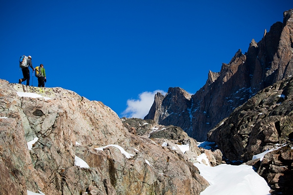
Continental Divide Trail, Montana, Idaho, Wyoming, Colorado, New Mexico

Best For: Dedicated thru-hikers, but it can also be appreciated in smaller sections by all levels of day hikers and backpackers
Distance: 2,268 miles of completed trail, 832 unconstructed
When Lewis and Clark crossed the Continental Divide at a spot in the Bitterroot Range in 1805, the expedition defined America as a country spanning from the Atlantic to the Pacific. The Continental Divide Trail (CDT) crosses the backbone of the continent, the mighty Rocky Mountains from New Mexico to Montana, which still harbor that sense of untamed wilderness that fueled (and sometimes slowed down) the nation’s manifest destiny.
Unlike its eastern cousin, the Appalachian Trail, the CDT is still quite rough and incomplete in parts, requiring bushwhacks, hikes down dirt roads, and odd, circuitous rambles. (Sadly, the Continental Divide Trail Alliance, which put volunteers to work building and maintaining the trail, shuttered its doors in December 2011 due to financial difficulties.) But it’s wilderness that’s at the heart of this trail that cuts through Yellowstone and Glacier National Parks. At some points the divide is breathtaking, as when it crosses the high, trailless crags of Colorado’s Indian Peaks Wilderness and Rocky Mountain National Park. At others, it’s oddly subdued, especially in Wyoming’s Red Desert, where it runs around a basin that doesn’t drain into either the Pacific or the Atlantic.
When to Go: Timing is the biggest challenge in a region where snows can block trail all season long. Most thru-hikers begin in New Mexico in the spring and hope to reach the Canadian border before the fall storms roll in.
Shortcut: There are endless possibilities to bite off chunks of the CDT. Some of the best lie in Montana, where the trail cuts through little visited wilderness areas like the Centennial Mountains and the Italian Peaks.
Insider Tip: To avoid some of the official trail’s tedious detours, the Continental Divide Trail Society has defined a route that doesn’t follow the official trail as marked by public land managers.


![10 best airports in Asia in 2016 [RANKED] kuala-lumpur-international-airport-best airports in asia in 2016 by skytrax ratings](https://livingnomads.com/wp-content/uploads/2016/08/29/kuala-lumpur-international-airport-best-airports-in-asia-in-2016-by-skytrax-ratings-218x150.jpg)


